⚠️  This is a visual mock-up of the SolumIQ platform. Data shown is illustrative only. The live platform is currently in development.
app.solumiq.co.nz/report/masterton-wairarapa
⚡ Generate report
Masterton, Wairarapa
Just now
Palmerston North, Manawatū
2 days ago
Carterton, Wairarapa
3 days ago
Upper Hutt, Wellington
5 days ago
Site Report — Masterton
Masterton, Wairarapa, New Zealand · Generated instantly
✓ Report ready
⚠ Groundwater noted
Location
Site location map — East Taratahi, Wairarapa
Key site data — hover any card to view dataset map
Soil classification map
🪨 Soil type
Alluvial
Well-drained, medium bearing capacity
⚠️ Contaminated sites
None recorded
No registered contaminated sites within 500m
Piezometric contours map
Piezometric contours
💦 Piezometric contours
~3m depth
Shallow groundwater — design implications likely
Flood susceptibility map
Flood susceptibility overlay
💧 Flood susceptibility
Low–Moderate
Site partially within flood susceptibility zone
Bores location map
Bore locations
🔩 Bores
5 nearby
Groundwater bore records available within 1km
⛰️ Terrain slope
< 5°
Essentially flat, no slope stability concerns
Dataset confidence
Soil data
92%
Wind zones
98%
Terrain
87%
Seismic
95%
Flood risk
74%
📄 Report based output
Data is compiled and the output provided in a formatted Word document with headings, a brief commentary on data provenance and implications, and JPEG insertions ready for pasting into your report.

A real site report,
generated instantly

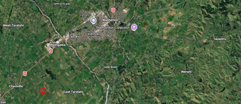
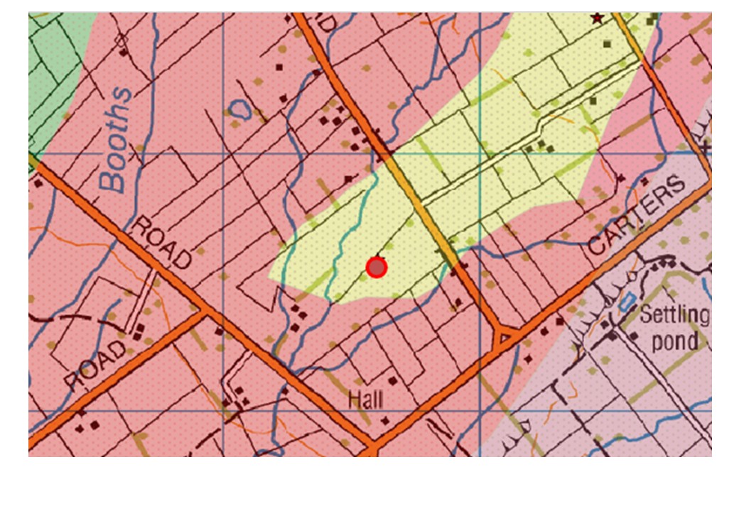
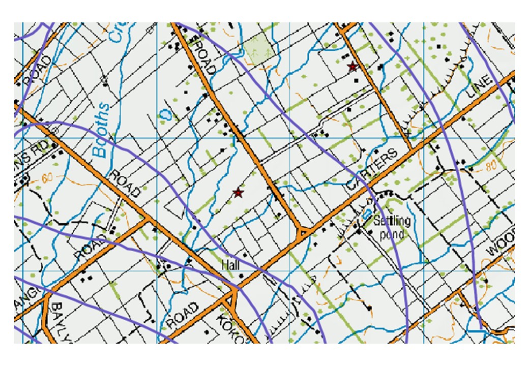
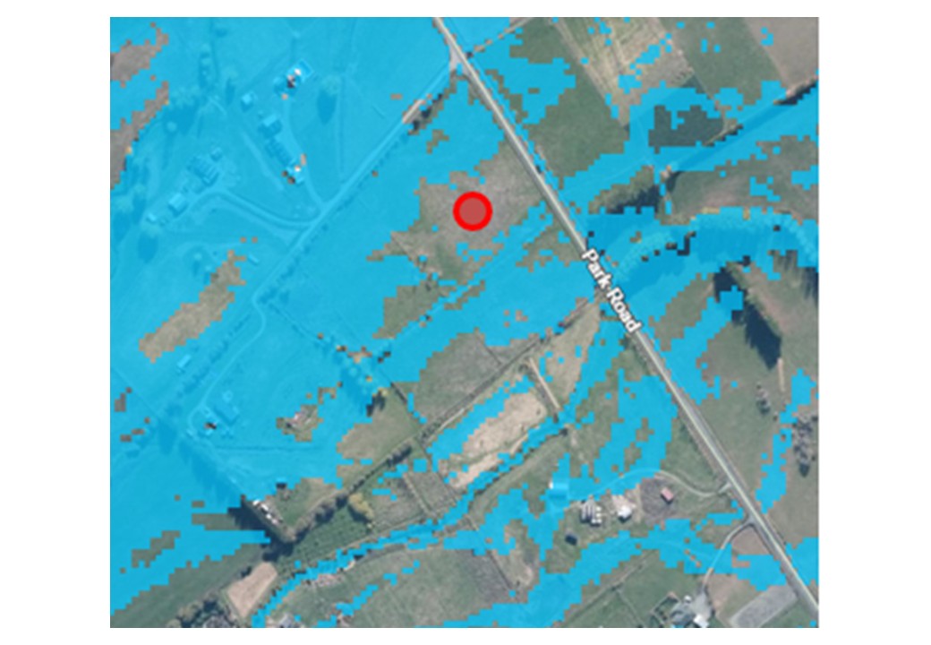
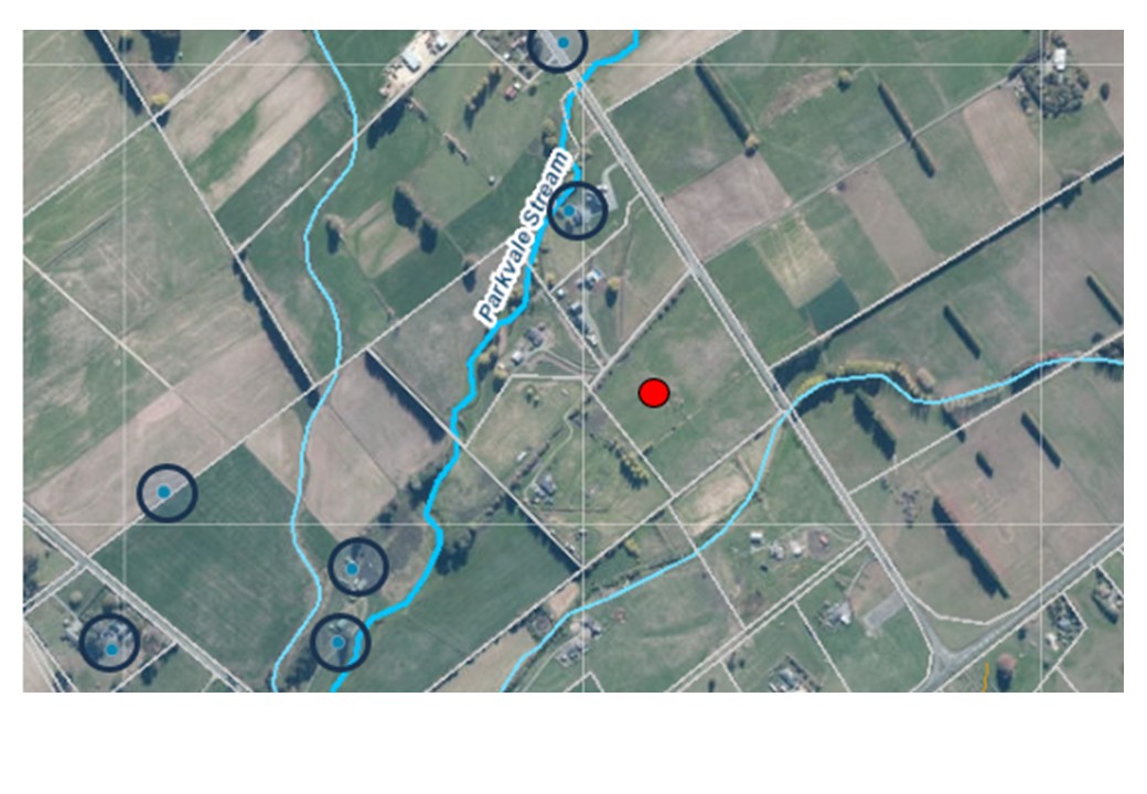
The mock above shows what a SolumIQ report looks like for a real New Zealand location — Masterton, Wairarapa. Every data point is drawn from actual environmental datasets relevant to that site.

In the live platform, this entire report is generated the moment you enter a location. No waiting, no manual lookup, no GIS software needed.

The output is designed to be immediately useful — whether you're an engineer starting a feasibility study, a planner reviewing development potential, or a developer scoping a new project.

What can be included in your report

Select the categories appropriate to your project from:

  • Geological data
  • Soil type & drainage category
  • Slope
  • Flood susceptibility
  • Fault locations
  • Groundwater depth & flow direction
  • Isohyets for rainfall
  • Yearly solar radiation
  • Contour & overland flow paths
  • + Other datasets — tell us what you need